
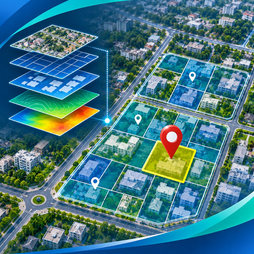
GIS Mapping & Geospatial Solutions
Property mapping, spatial database development, cadastral integration, web GIS dashboards and municipal asset mapping.
Enquire about GISEmpowering Urban Local Bodies with GIS-based property tax assessment, digital household surveys, drone imaging and intelligent municipal technology solutions.
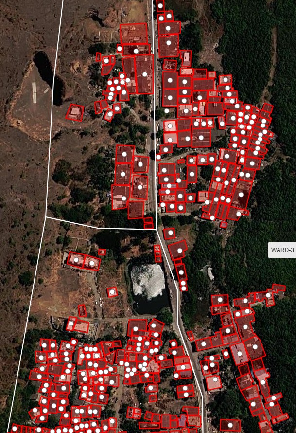
Nirko Projects Pvt. Ltd. is a company specialising in GIS-based property tax assessment surveys, geospatial mapping, digital household surveys and municipal software solutions.
With an organisational legacy dating back to 2009, we bring together field-level expertise, geospatial technology and digital platforms to help Urban Local Bodies build reliable property databases, improve assessment processes and strengthen municipal revenue administration.
From accurate property identification to digital tax administration, our services support the complete municipal property data and management lifecycle.
Property mapping, spatial database development, cadastral integration, web GIS dashboards and municipal asset mapping.
Enquire about GIS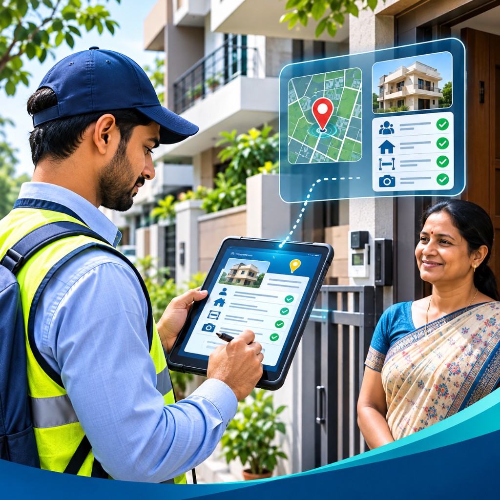
Door-to-door surveys capturing ownership, occupancy, property usage, building attributes and assessment-related information.
Enquire about surveys
GIS-linked property identification, assessment data collection, unassessed property identification and database verification.
Enquire about assessment
Drone-based image acquisition, high-resolution orthomosaics, geo-referenced imagery and spatial analysis.
Enquire about drone survey
Web-based property tax platforms for registration, assessment, billing, collection, reporting and revenue monitoring.
Explore software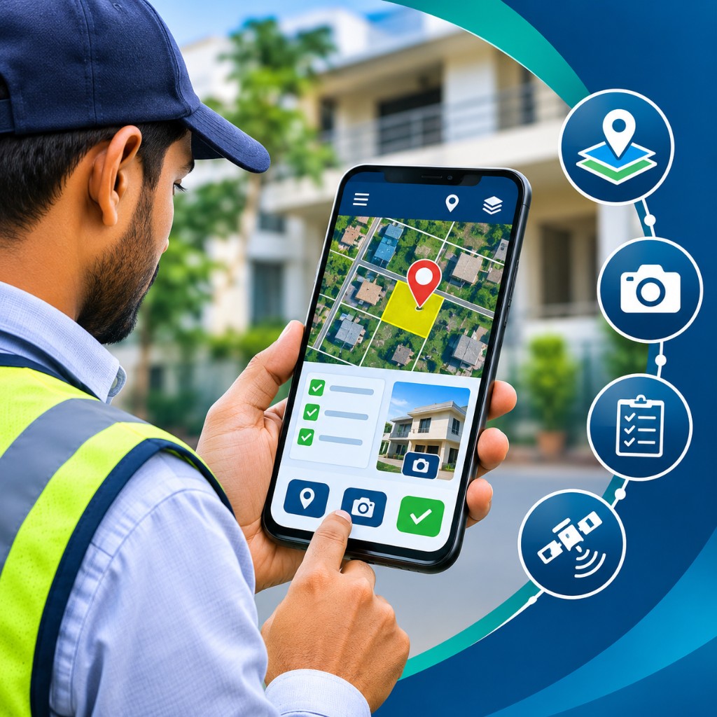
GPS-enabled mobile surveys with geo-tagged photographs, offline capture, synchronisation and field progress monitoring.
Explore mobile surveysWe combine on-ground implementation knowledge with digital capabilities to deliver solutions aligned with the operational needs of municipal authorities.
Solutions designed for Municipal Corporations, Councils and Nagar Panchayats.
Connected support from field data collection through GIS and software deployment.
Structured workflows for data validation, verification and consistency.
Helping ULBs strengthen property records and revenue administration.
Our work is guided by a clear purpose: make municipal information more accurate, accessible and actionable through the effective use of technology.
To be a trusted technology partner for urban governance through innovative and sustainable geospatial solutions.
To modernise municipal administration with accurate data, practical technology and dependable implementation.
To work collaboratively with public institutions and deliver solutions aligned with project objectives.
Understand the requirement, plan the workflow, deploy the right tools and validate the outcomes.
We work with and support ULB's for urban development, municipal services and local revenue administration.
Large-scale property mapping, assessment surveys and integrated municipal management solutions.
Property surveys, GIS database development and digital property tax administration.
Property identification, household surveys and practical revenue management tools.
Technical consultancy, geospatial solutions, project implementation and data verification.
Let's discuss your GIS, property tax assessment or digital survey requirements.
Tell us about your project or requirement. Our team will get back to you to discuss a suitable approach.